Log in
All resources
Create a design
33,402 Free Images of 1680 Maps
maps in the library of congress
maps with cartouches
atlas van der hagen
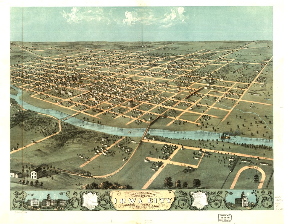
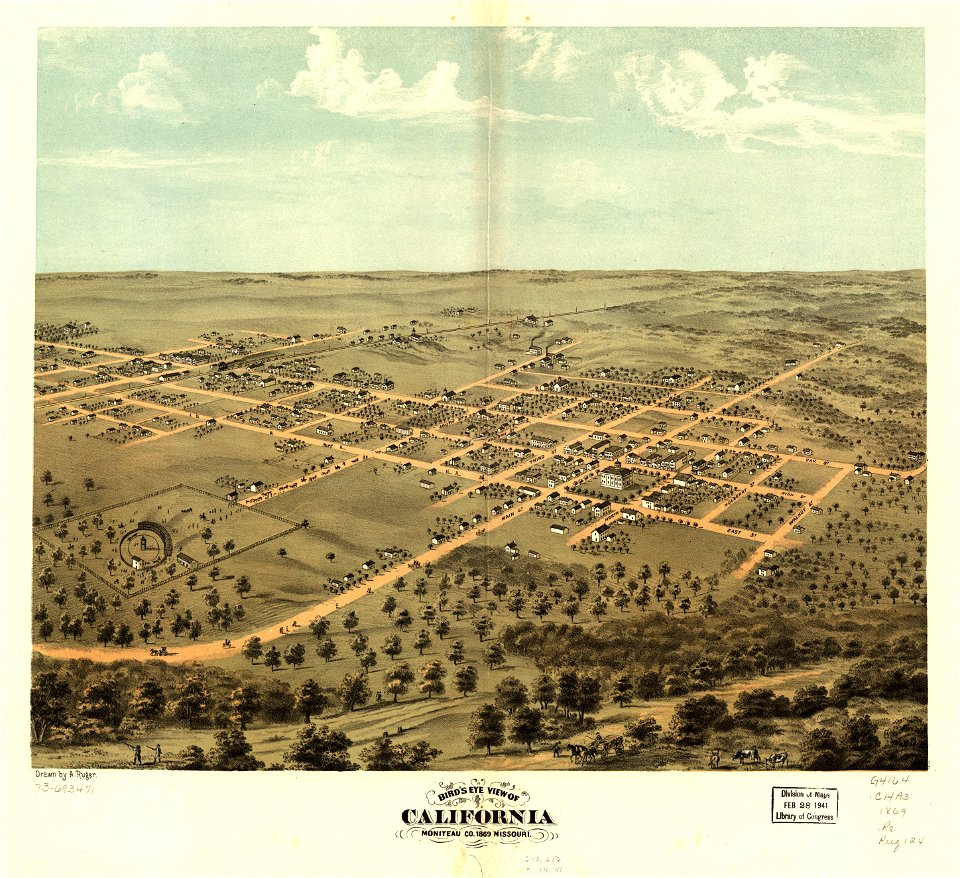
albert ruger
atlas van der hagen (volume 1)
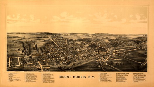
new york
town maps by l. r. burleigh
pennsylvania
1868 maps of iowa
1890 maps of new york (state)
allegories of the four elements
islands of california
maps in the library of congress
johannes vingboons
maps in the library of congress
johannes vingboons
maps with cartouches
atlas van der hagen
maps with cartouches
atlas van der hagen
maps with cartouches
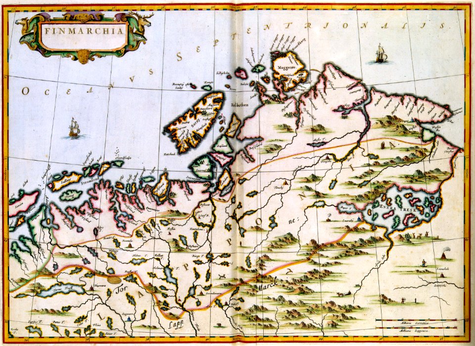
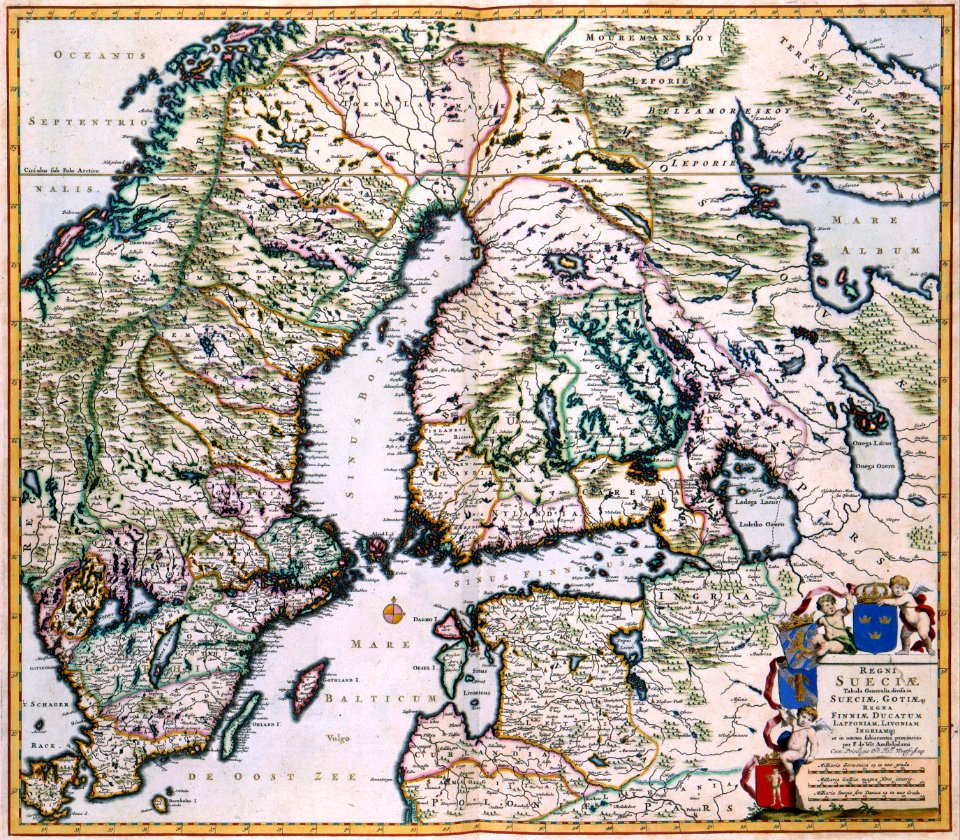
finland
maps with cartouches
atlas van der hagen
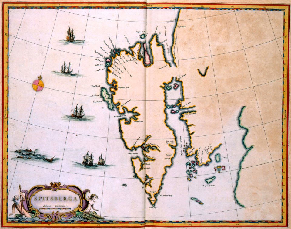
old maps of scandinavia
maps with cartouches
maps with cartouches
atlas van der hagen
maps with cartouches
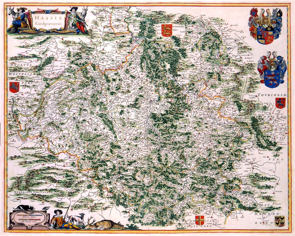
old maps of hesse
maps with cartouches
old maps of hesse
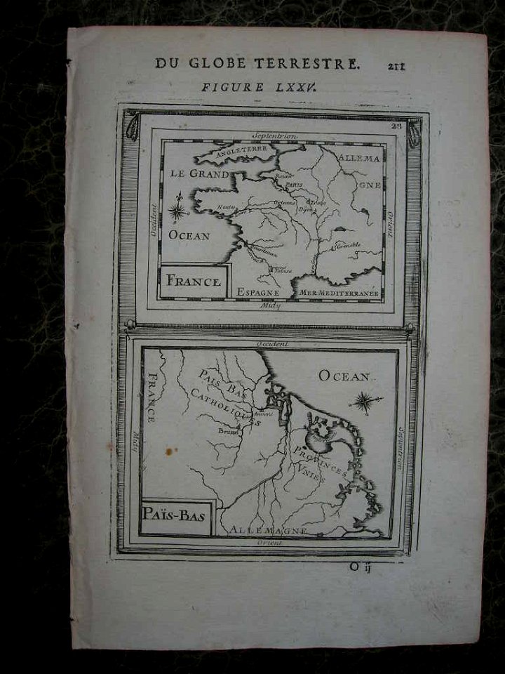
17th-century maps of france
maps with cartouches
17th-century maps of france
maps with cartouches
17th-century maps of france
maps with cartouches
old maps of france
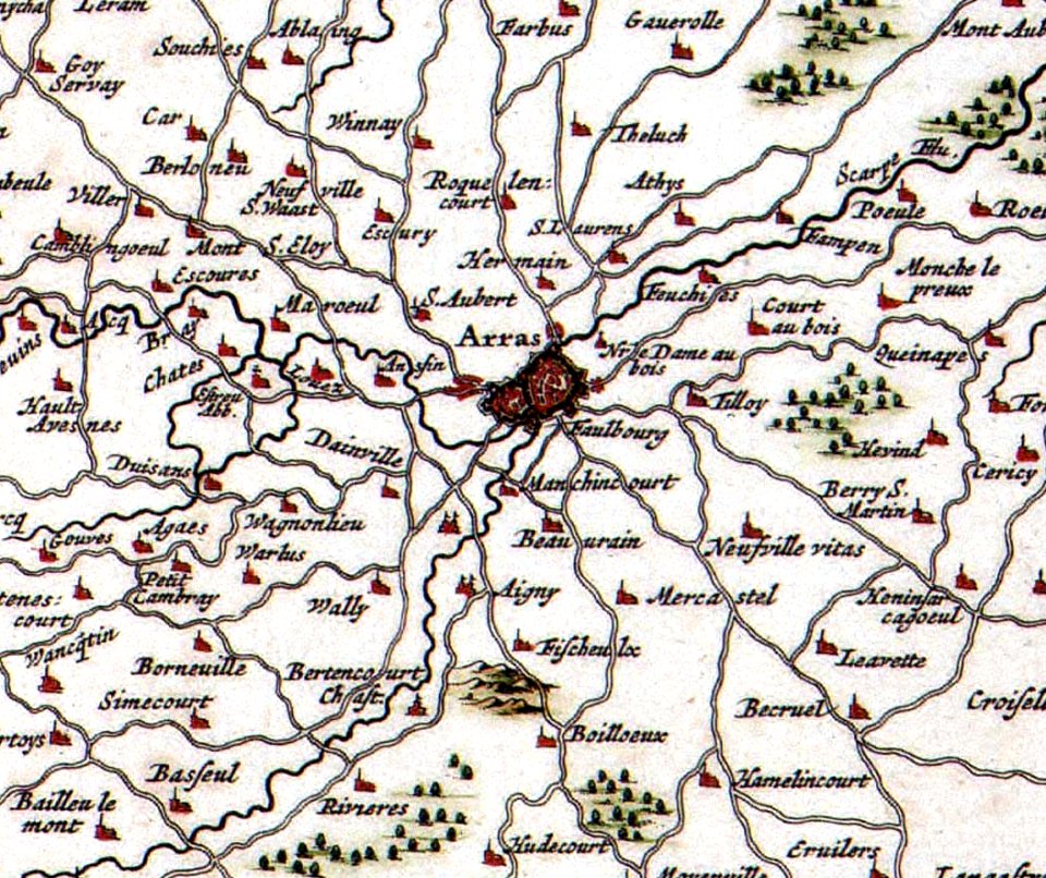
old maps of arras
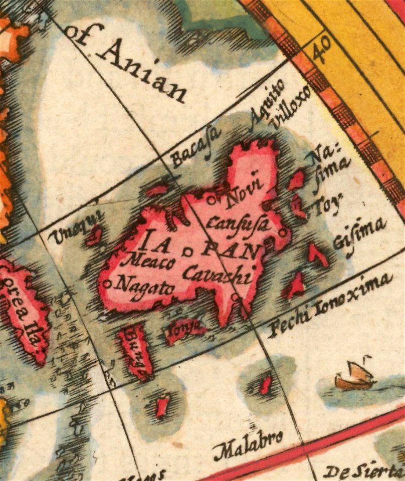
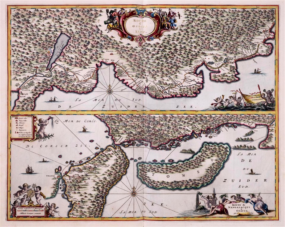
old maps of japan
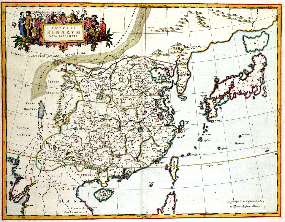
old maps of china
maps with cartouches
ships on maps
atlas van der hagen (volume 4)
maps with cartouches
maps with cartouches
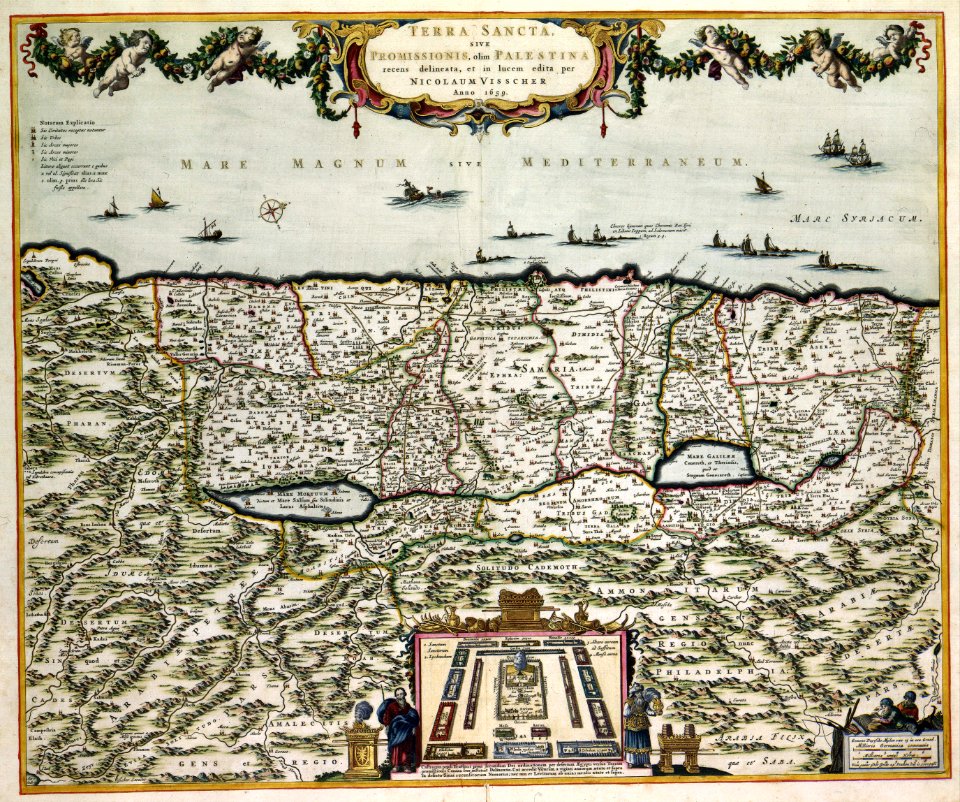
old maps of israel
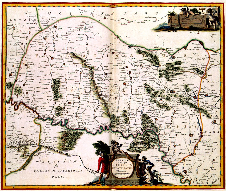
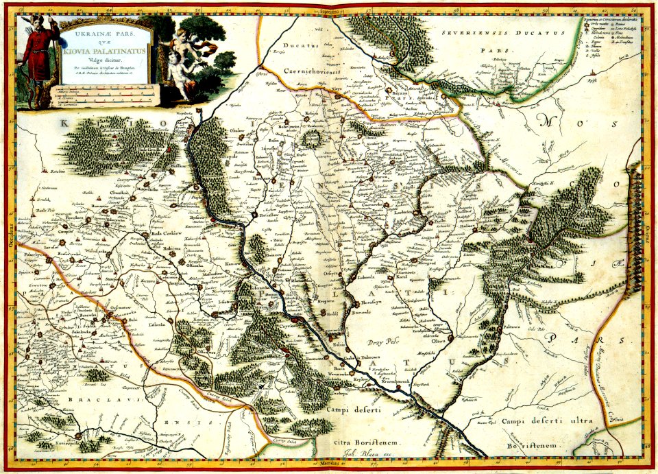
18th-century maps of the spanish empire
johannes ratelband
maps in the library of congress
new york
victor levasseur - maps of the world
frédéric-auguste laguillermie
fonds ancely - bibliothèque municipale de toulouse - maps
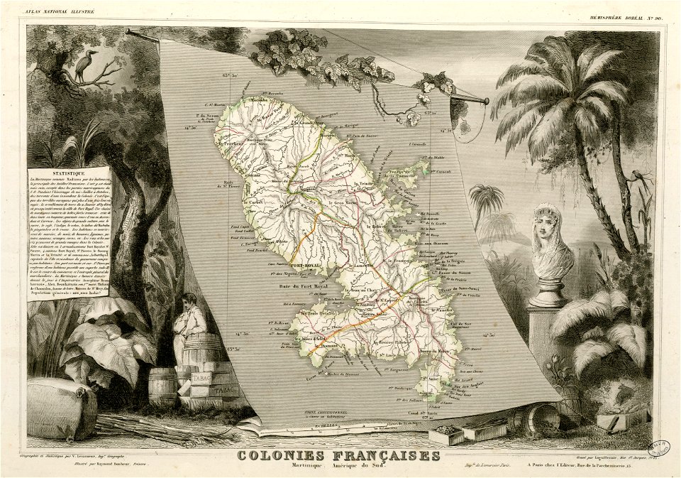
victor levasseur - maps of france
maps in the library of congress
new york
maps from the mechanical curator collection
1814 maps
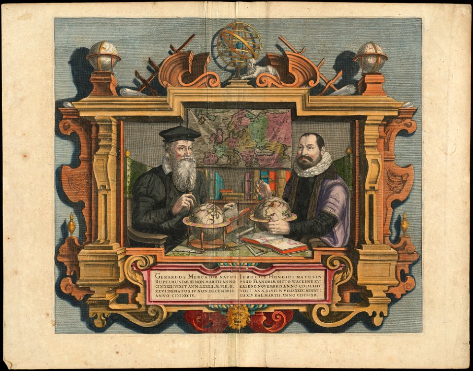
people with globes in art
1628 maps
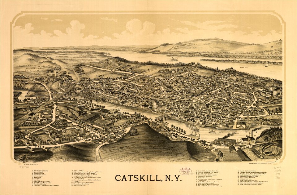
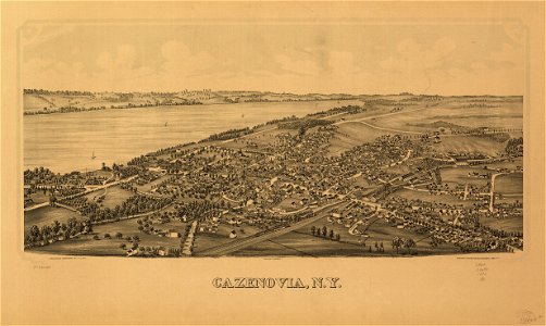
cazenovia
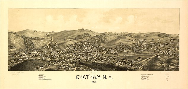
new york
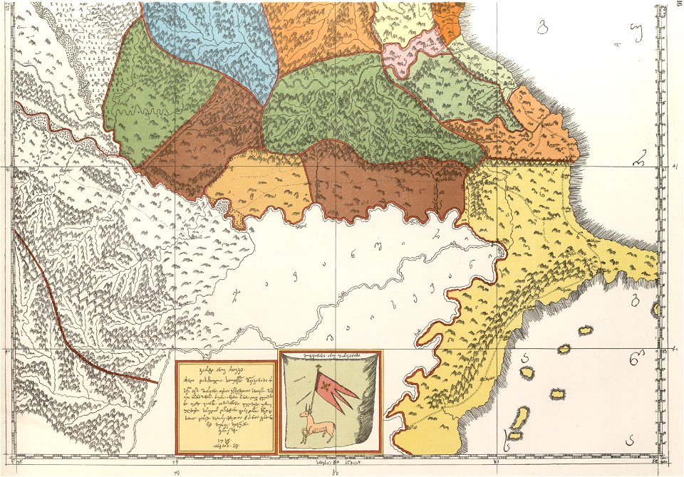
description of kingdom of georgia
its habits and canons
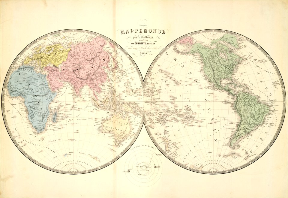
double hemisphere world maps
old maps of the world
description of kingdom of georgia
its habits and canons
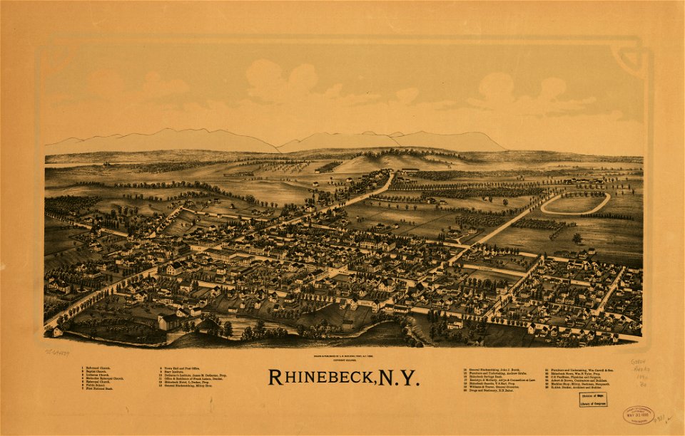
new york
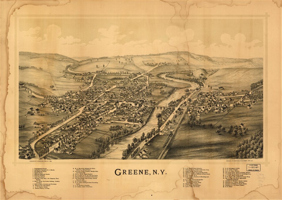
green
new york
florida
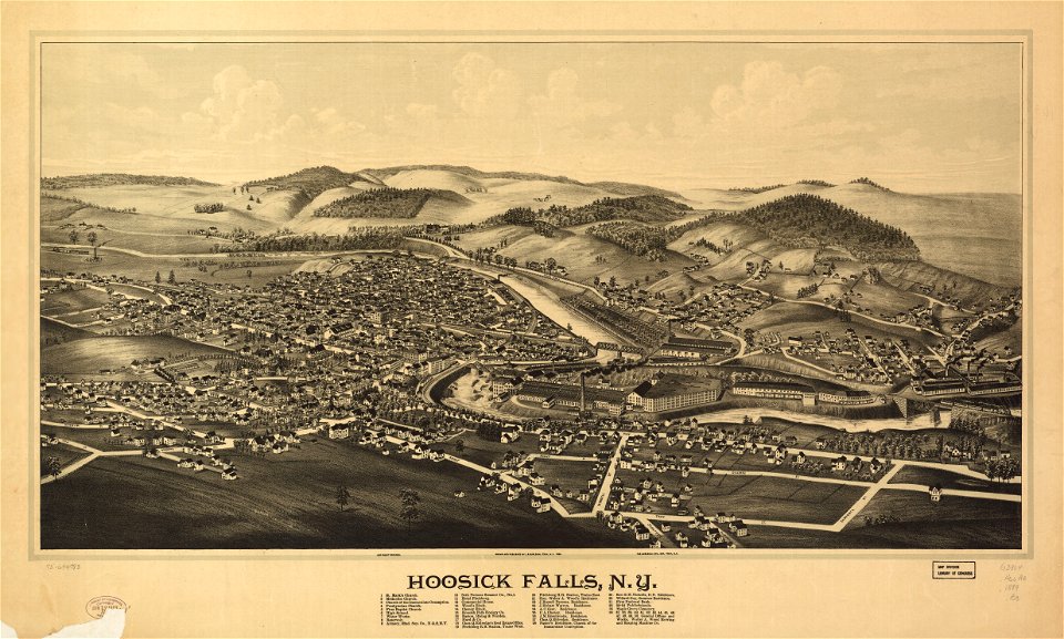
hoosick falls
new york
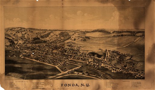
new york
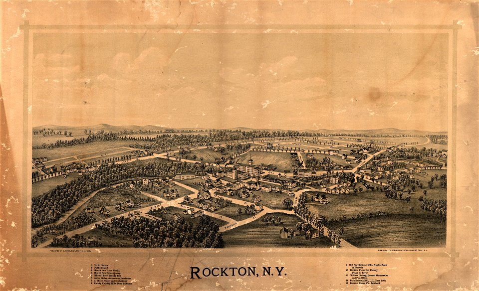
rockton
old maps of whole wales (alone)
john speed
maps made in the 16th century
ignazio danti
county maps of england by john speed
nonsuch palace
old maps of the united states
old maps of canada
maps in musée de la compagnie des indes
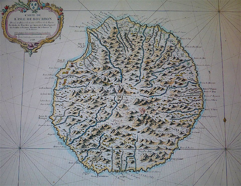
old maps of réunion
fonds ancely - bibliothèque municipale de toulouse - maps
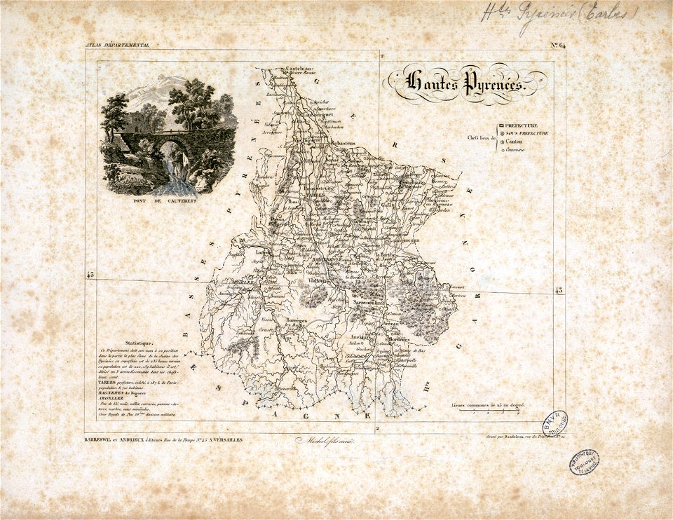
old maps of hautes-pyrénées
maps in the library of congress
new york
17th-century maps of france
description de l'universe
maps in the library of congress
1890 maps of new york (state)
maps in the library of congress
1884 maps of new york (state)
maps in the library of congress
1884 maps of new york (state)
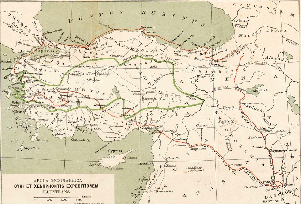
ten thousand campaign
old maps of turkey
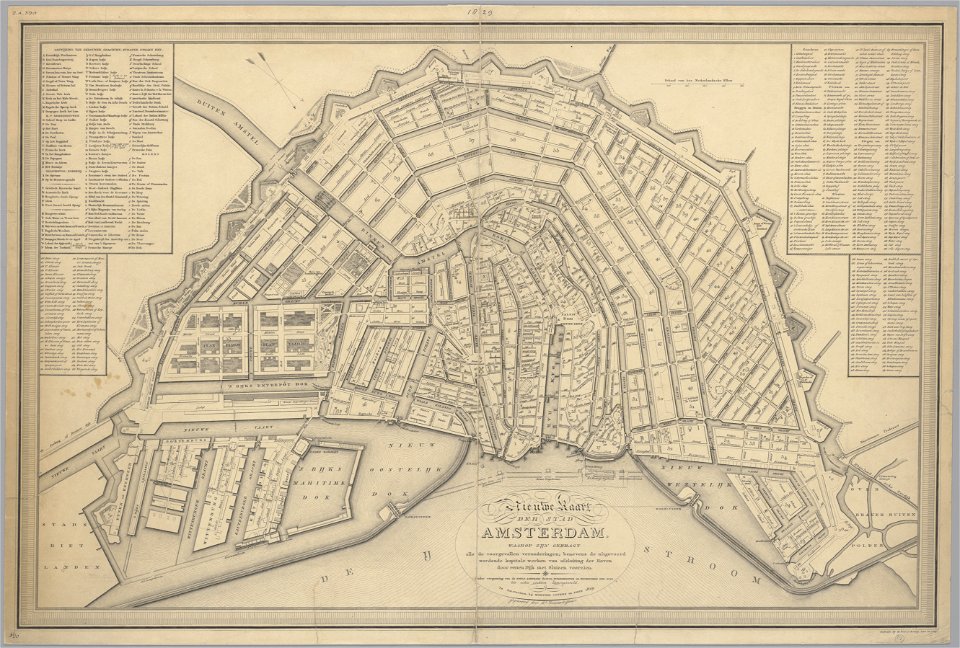
maps in the stadsarchief amsterdam
old maps of amsterdam
maps in the library of congress
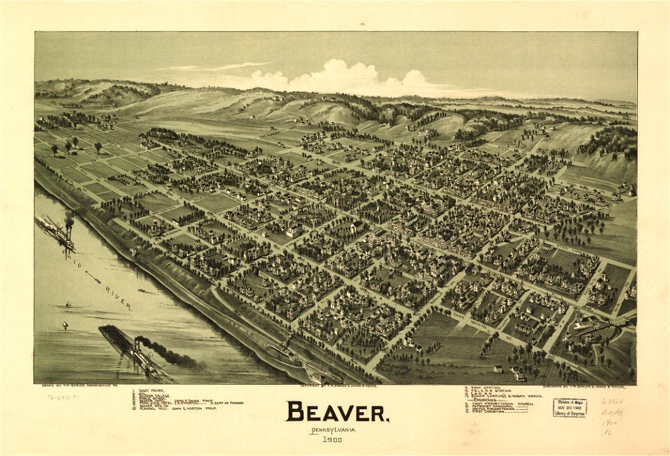
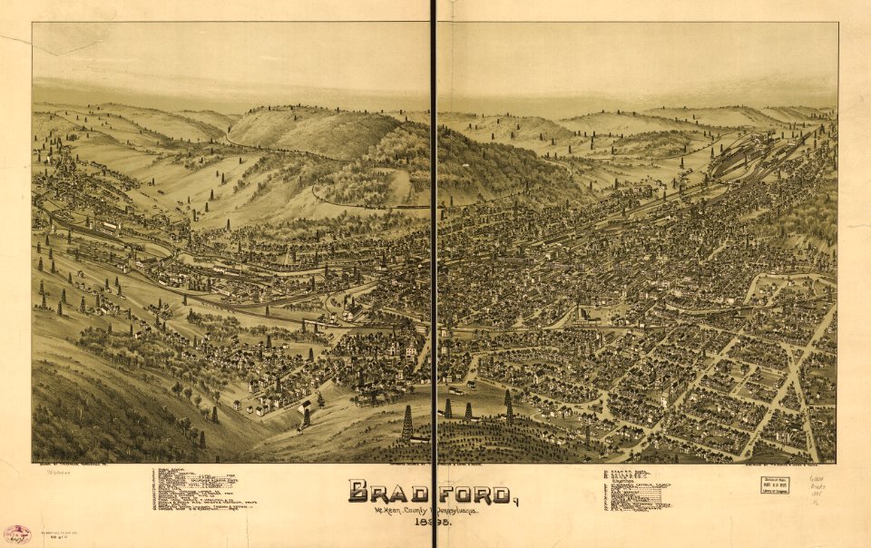
pennsylvania
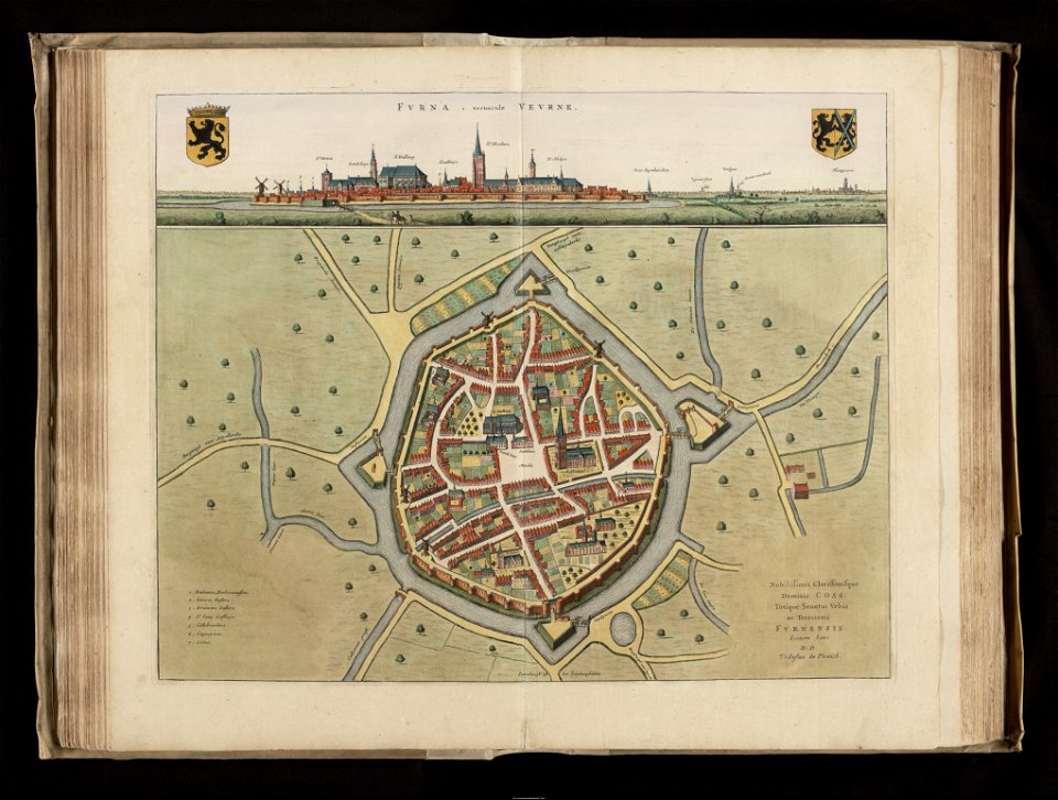
flandria illustrata
veurne
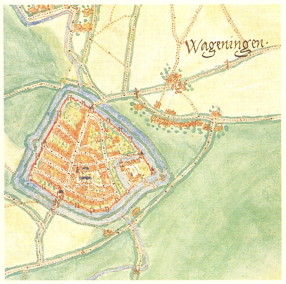
maps by jacob van deventer
history of wageningen
maps in the library of congress
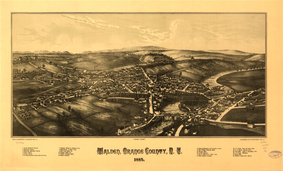
1887 maps of new york (state)
maps of schleswig-holstein in the atlas maior
maps by johannes mejer
maps in the library of congress
pennsylvania
maps in the library of congress
pennsylvania
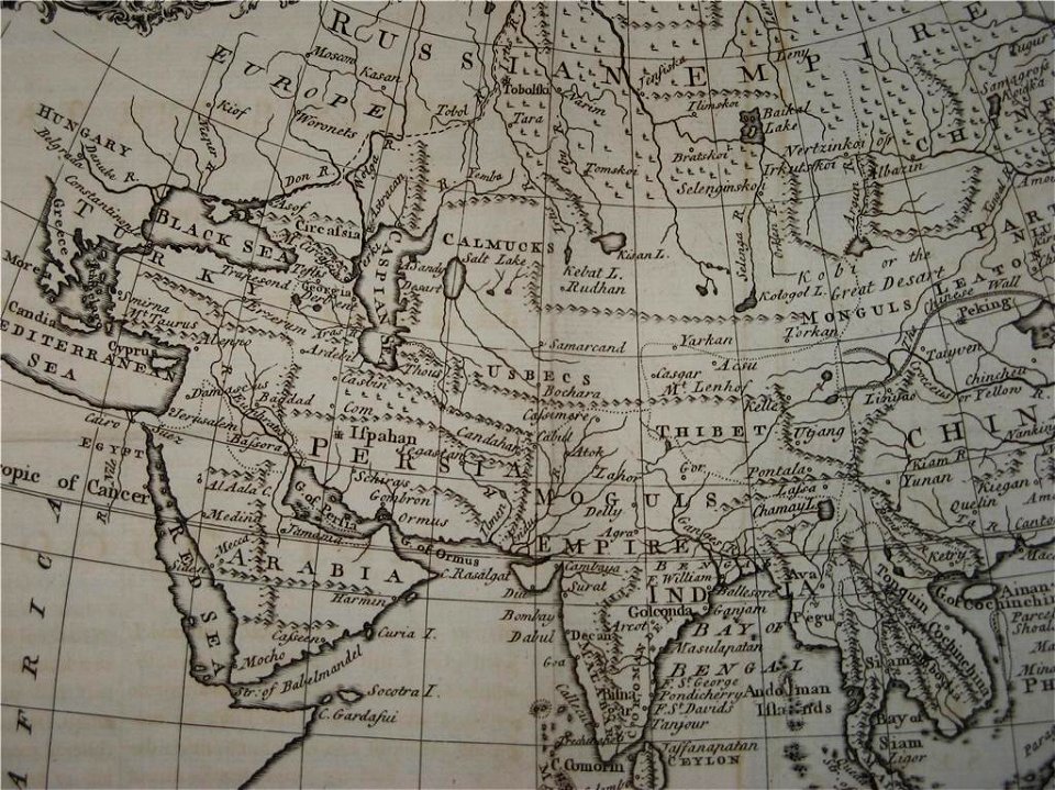
18th-century maps of india
old maps of tibet
maps in the library of congress
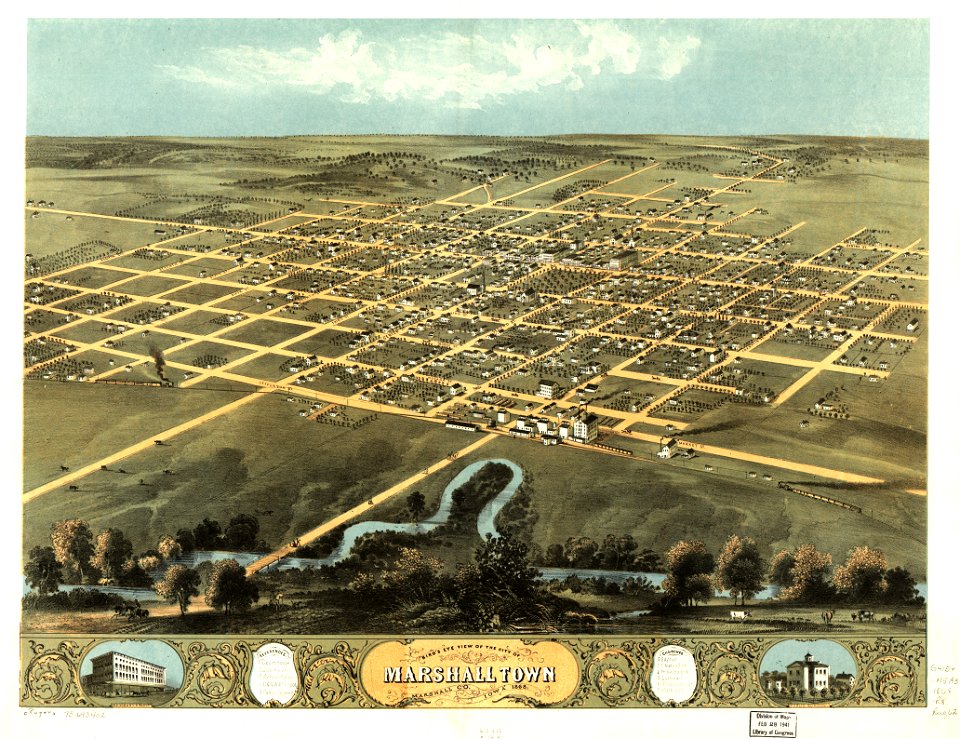
albert ruger
engravings by matthäus merian
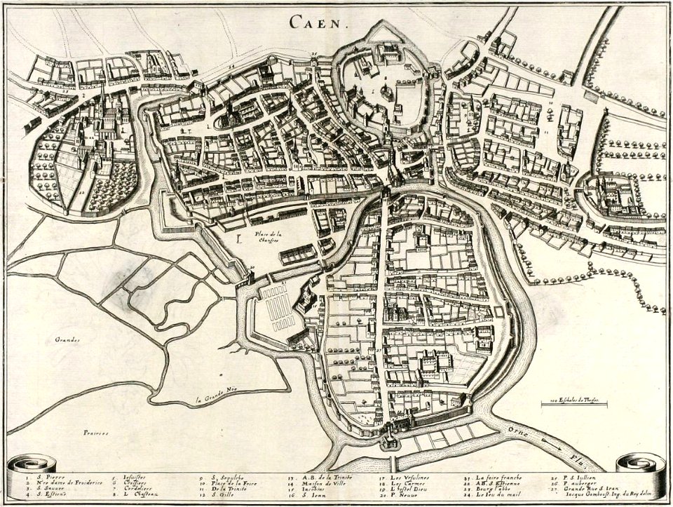
old maps of caen
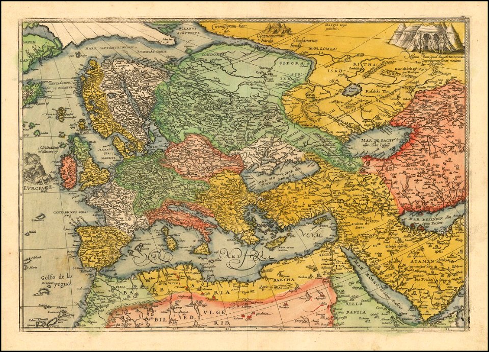
1570s maps of europe
frans hogenberg
maps in the library of congress
albert ruger
maps in the library of congress
albert ruger
maps in the library of congress
albert ruger
maps in the library of congress
albert ruger
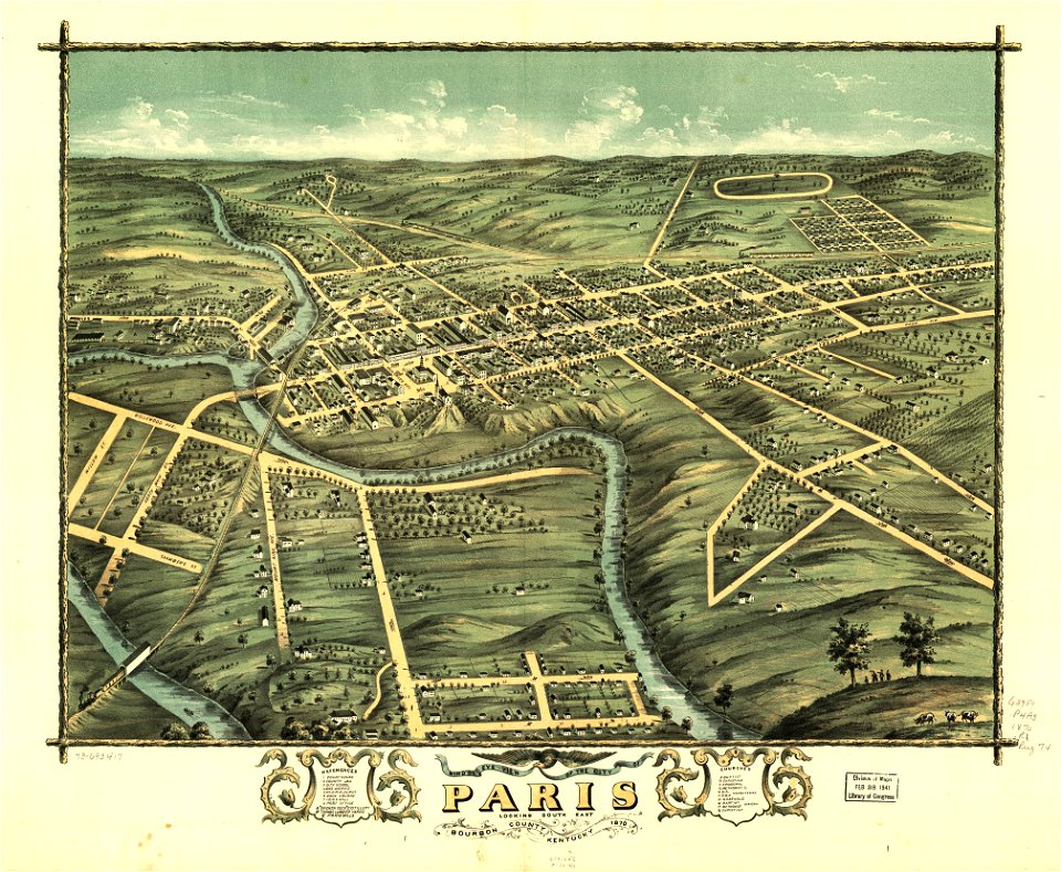
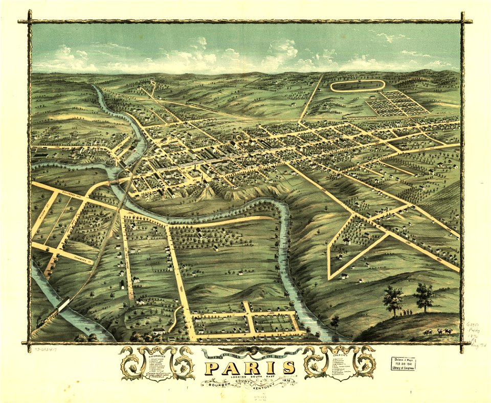
kentucky
paris
maps in the library of congress
albert ruger
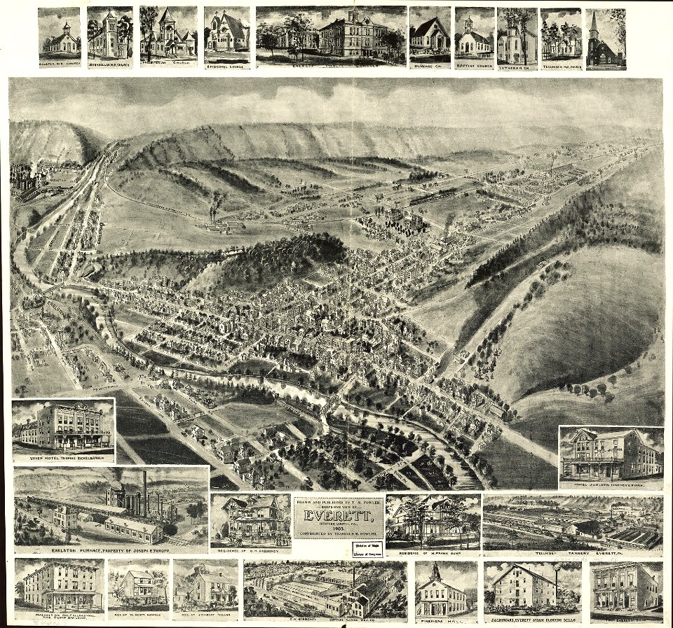
indiana
peru
maps in the library of congress
albert ruger
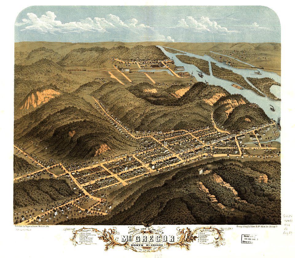
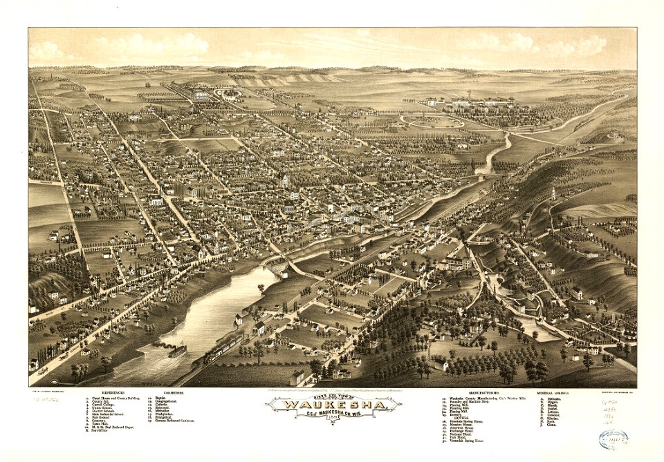
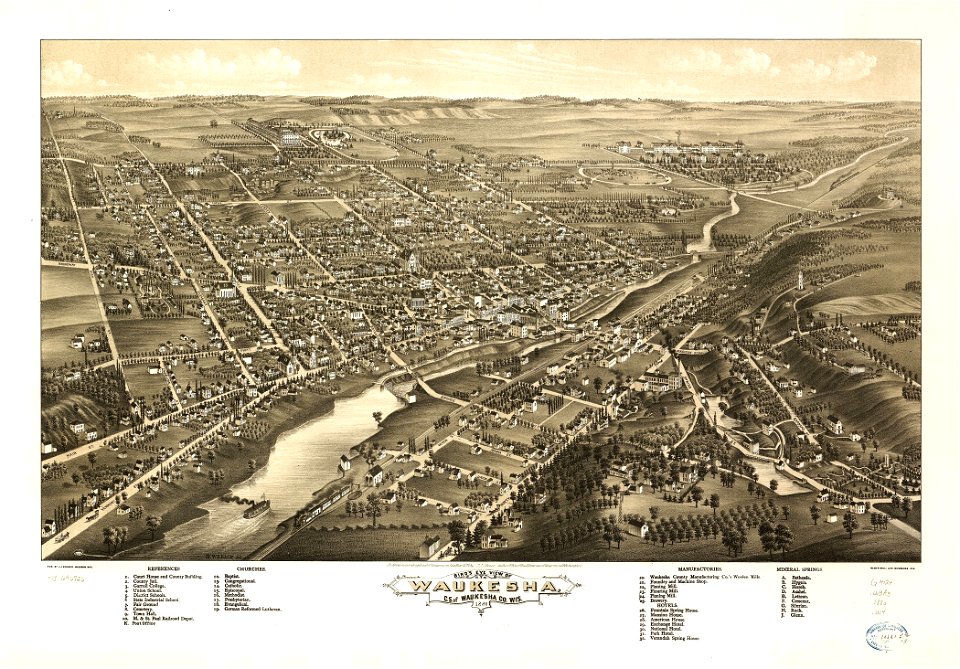
wisconsin
waukesha
kentucky
paris
maps in the library of congress
pennsylvania
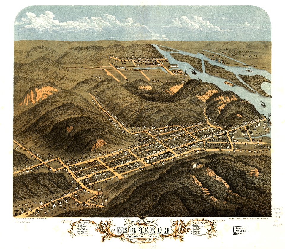
wisconsin
waukesha
maps in the library of congress
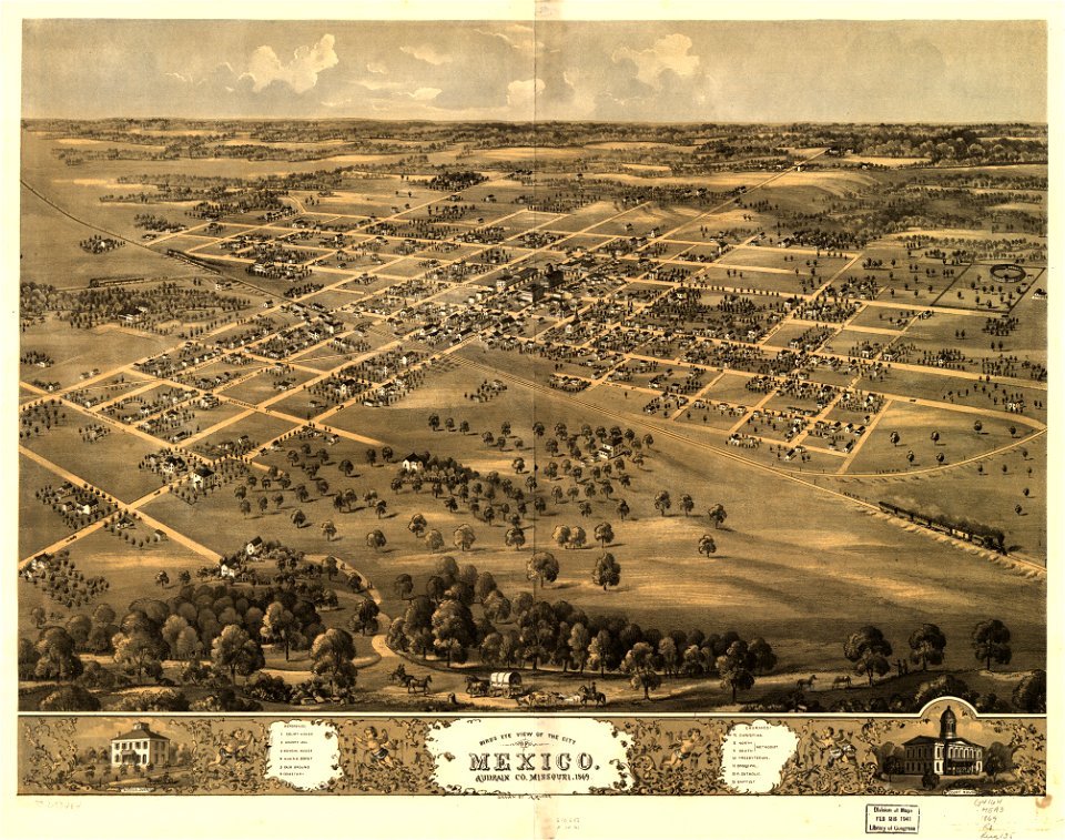
albert ruger
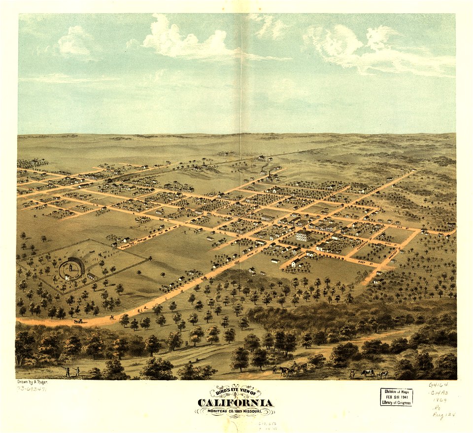
missouri
mexico
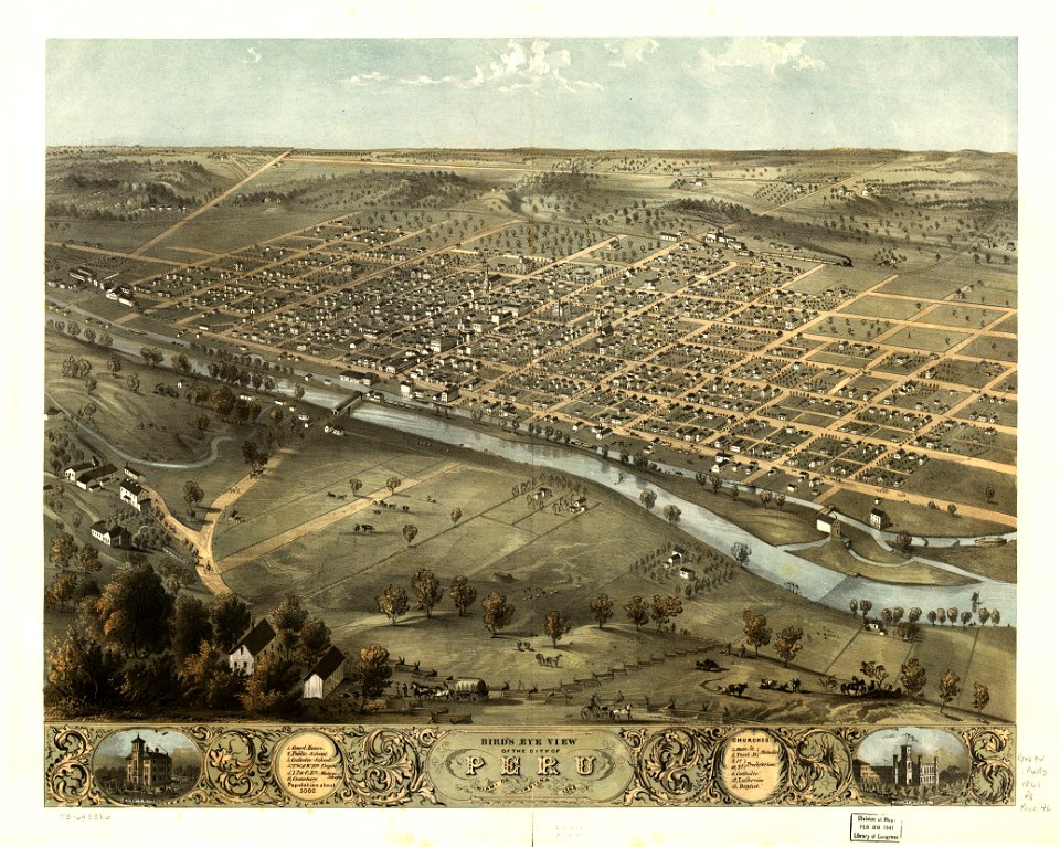
indiana
peru
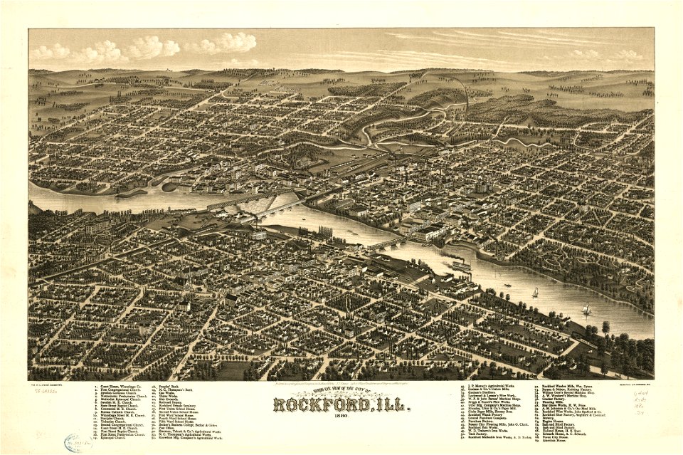
illinois
rockford
maps in the library of congress
pennsylvania
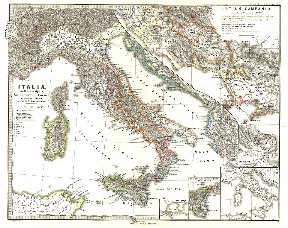
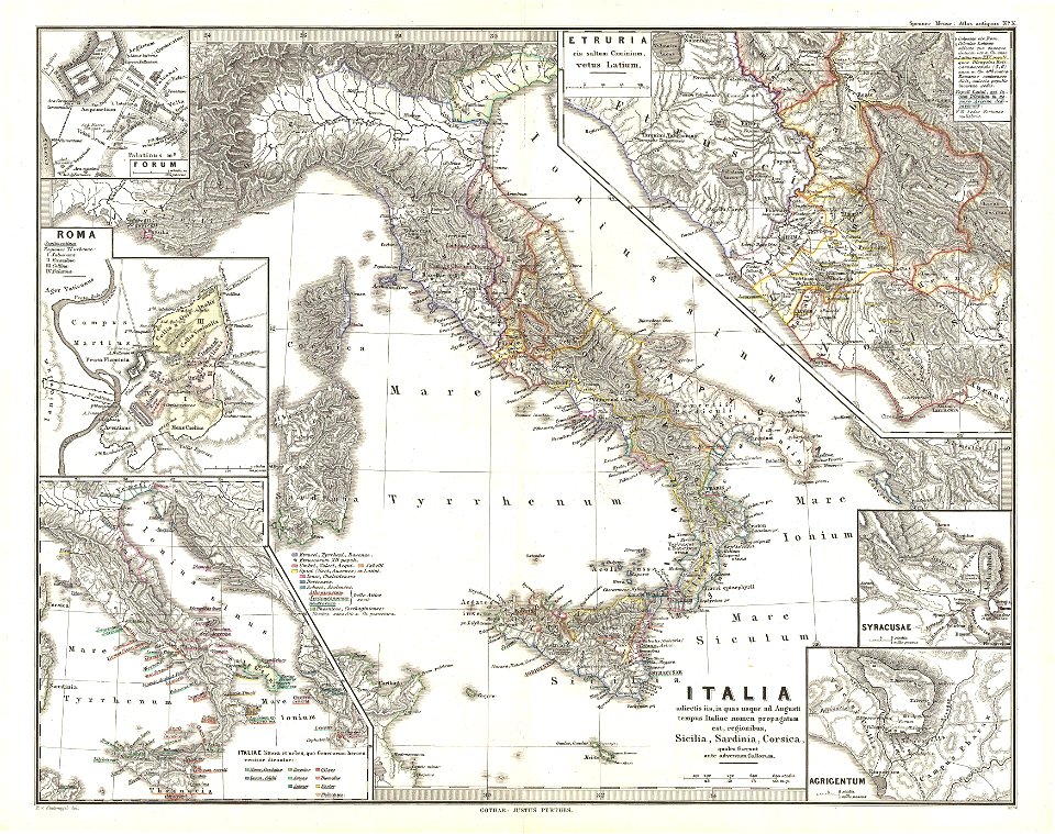
karl spruner von merz
old maps of italy
karl spruner von merz
old maps of italy
karl spruner von merz
old maps of italy
maps by joseph hutchins colton
1855 maps of ontario
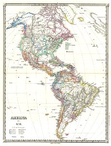
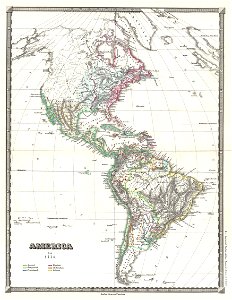
19th-century maps of the americas
karl spruner von merz
19th-century maps of the americas
karl spruner von merz
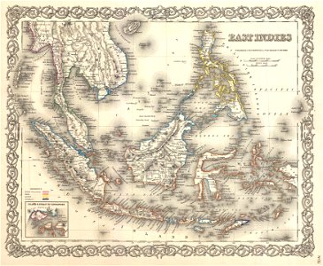
maps by joseph hutchins colton
1855 maps of indonesia
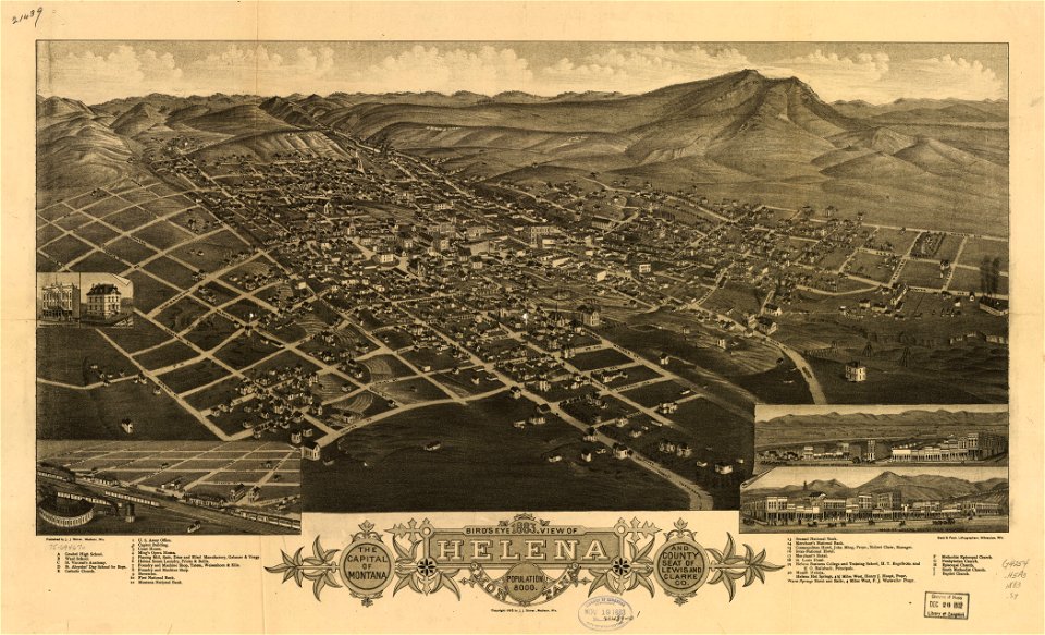
montana
helena
der neue brockhaus 1937
maps by brockhaus
charts and maps of the royal museums greenwich
1572 maps
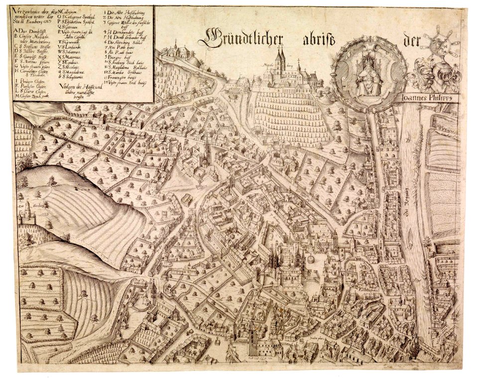
collections of staatsbibliothek bamberg
history of bamberg
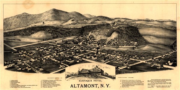
maps in the library of congress
1890 maps of new york (state)
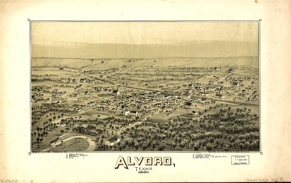
alvord
texas
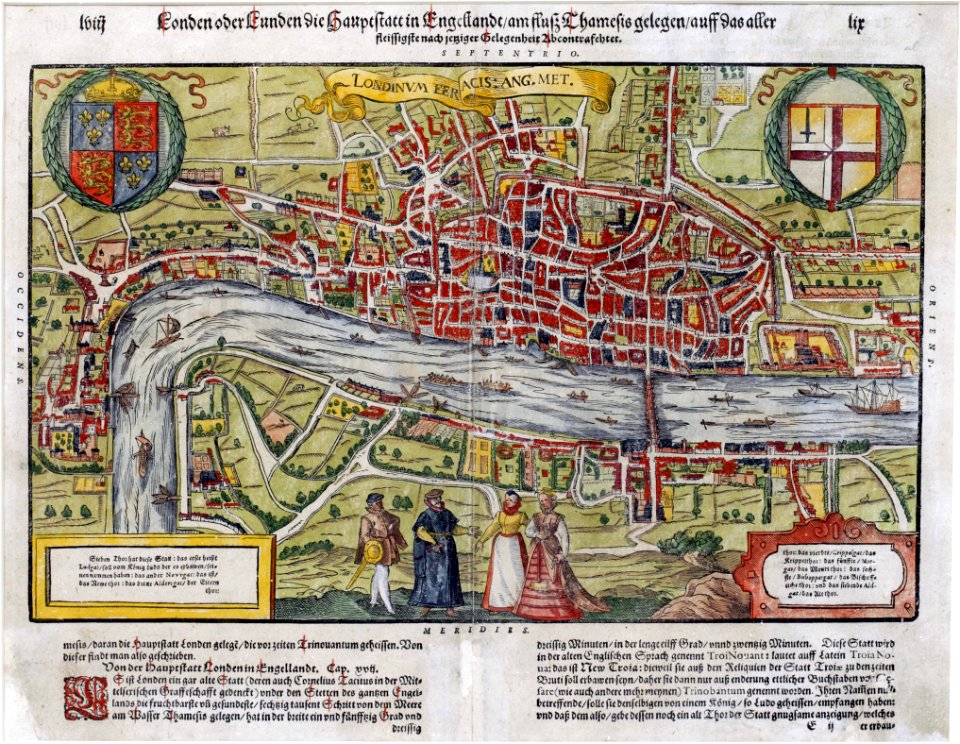
maps of london by sebastian münster
1598 maps of europe
charts and maps of the royal museums greenwich
1572 maps
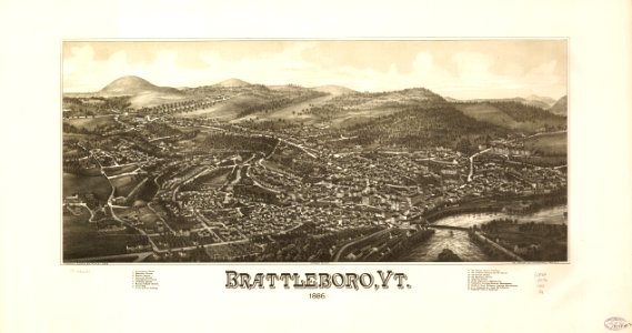
brattleboro
vermont
maps in the library of congress
pennsylvania
vermont
brandon
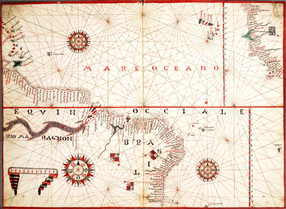
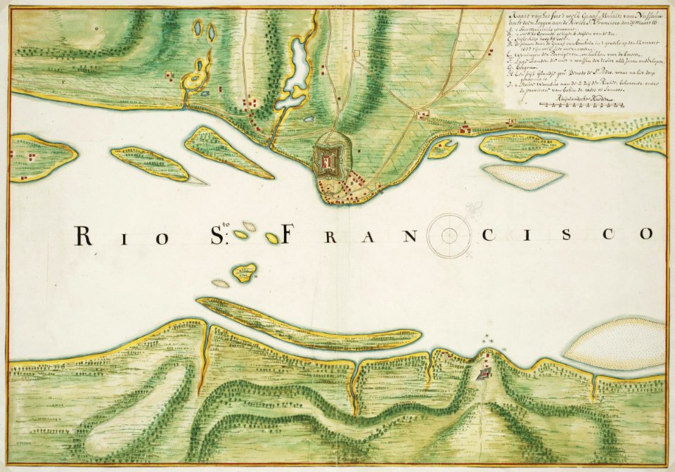
maps of the west-indische compagnie
1745
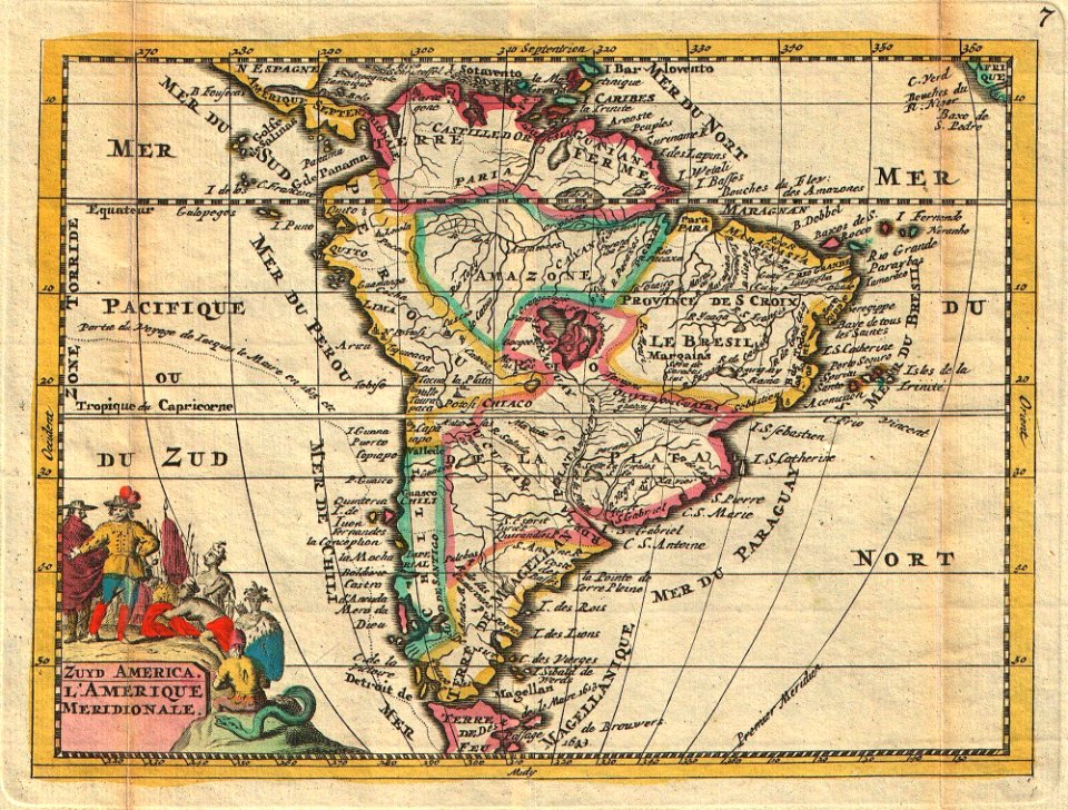
16th-century maps of south america
1596 maps
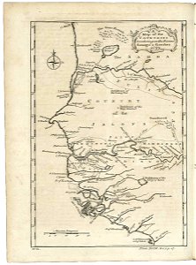
maps of the dutch east india company - japan
arnoldus montanus
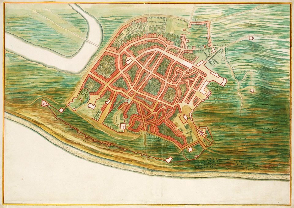
maps of the west-indische compagnie
1665
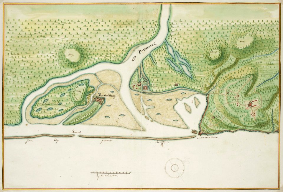
maps of the west-indische compagnie
1665
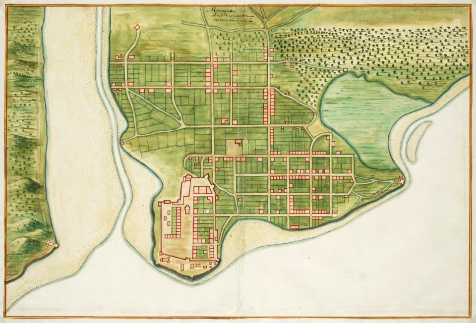
maps of the west-indische compagnie
1665
maps of the west-indische compagnie
1665
3601 - 3700 of 33,402
Next page
/ 335